Lion Creek is one of the more scenic creeks along the backside of Nordhoff Ridge, behind Ojai. It flows into the Sespe River, and part of the creek is in Sespe Wilderness. Lion Canyon Trail follows the creek for the first two miles and provides access to two different trail camps, before continuing to the top of Nordhoff Ridge. Small waterfalls past each of the trail camps make them inviting destinations.
The trail can be explored as part of a day hike or short backpacking trip. The hike to either trail camp is about five miles roundtrip. A visit to both camps is about six miles roundtrip. And a hike that takes in all the features of the trail, including a hike to the top of Nordhoff Ridge, is about 13 miles roundtrip.
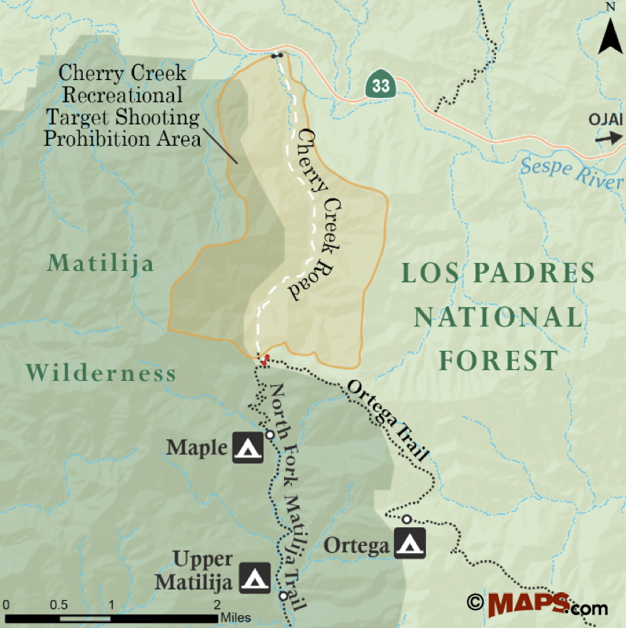
To get to the trailhead from Ojai, take State Route 33 north. The road follows North Fork Matilija Creek much of the way before climbing out of the Matilija drainage. And as it levels out, arrives at the turnoff for Rose Valley Road, on the right. Rose Valley Road continues east, through Rose Valley Recreation Area, and arrives at a 4-way intersection. To the right, the road leads up to Rose Valley Campground and Upper Rose Lake; to the left, the road leads down towards Lower Rose Lake.
Lion Canyon
For Lion Canyon Trail, continue straight ahead; the road then arrives at the next intersection. Here, the road branches one last time. The road to the left continues down towards the Piedra Blanca Trailhead and the beginning of Sespe River Trail. The road to the right drops down into Lion Canyon, and ends at Middle Lion Campground.
One of the ways to explore Lion Canyon Trail is by car camping at Middle Lion and day-hiking along the trail. Campsites are on a first come first serve basis, and the campsites at both Middle Lion and Rose Valley each include a fire ring and picnic table. An adventure pass is required to camp or park at either campground.
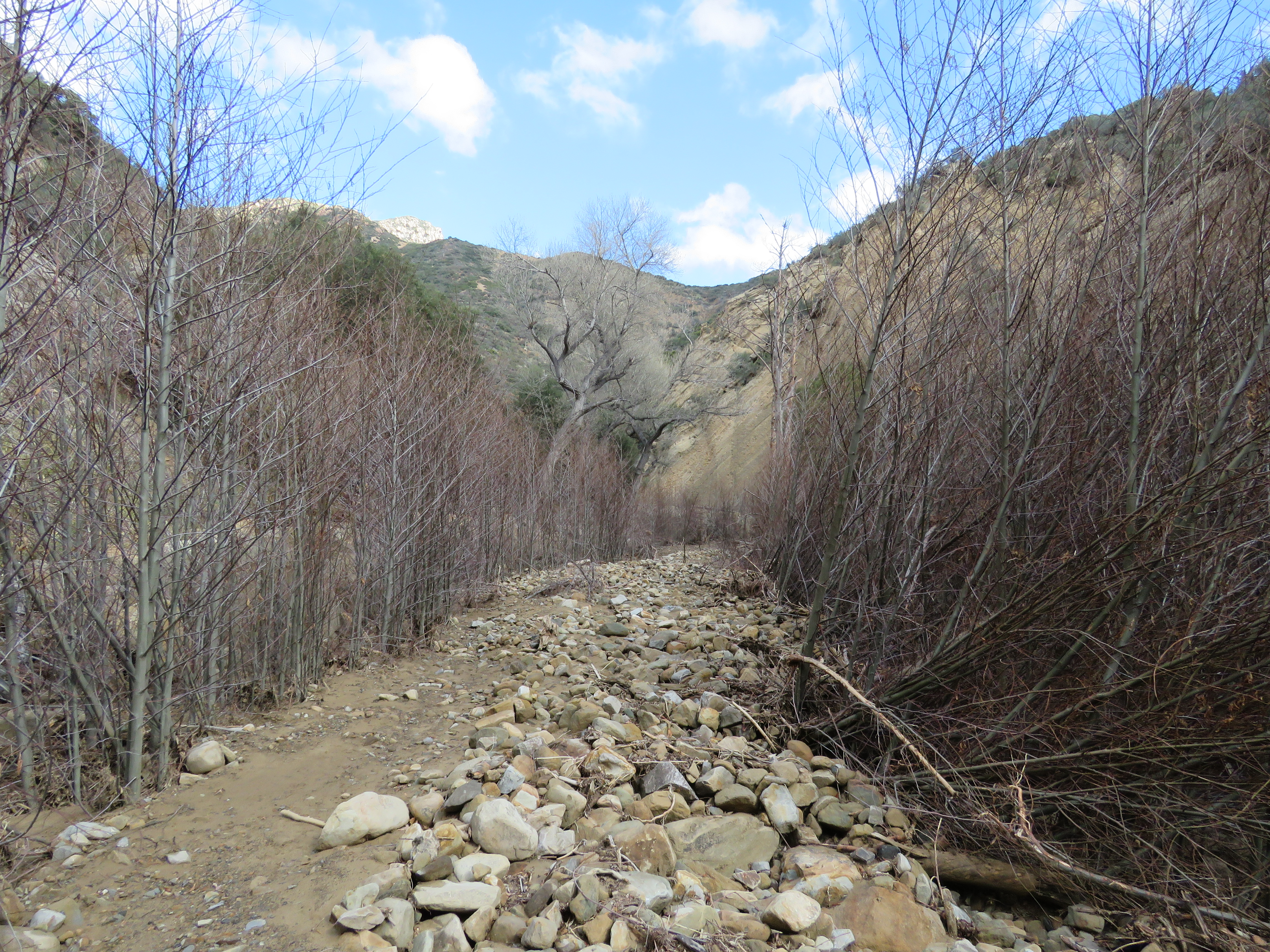
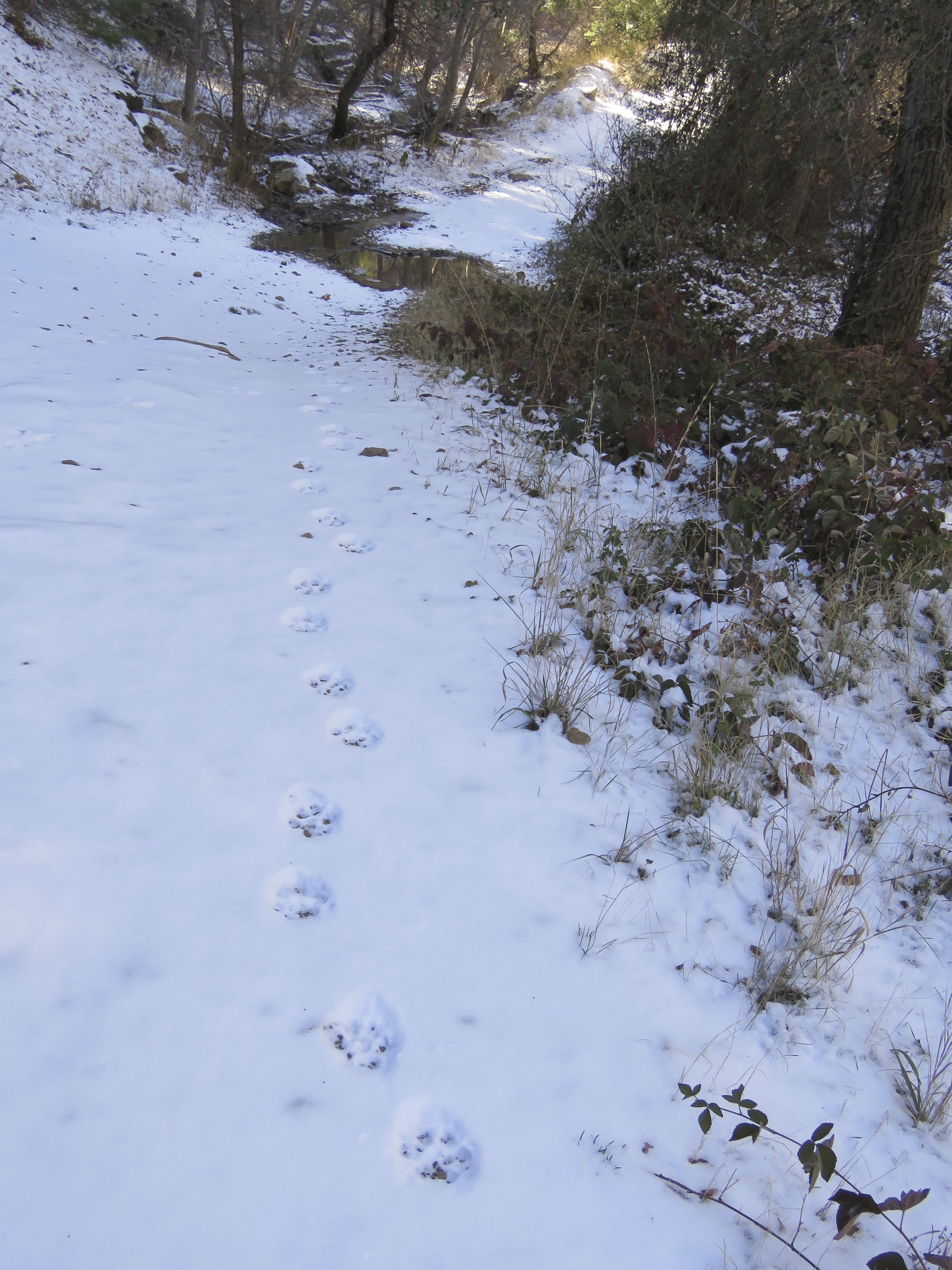
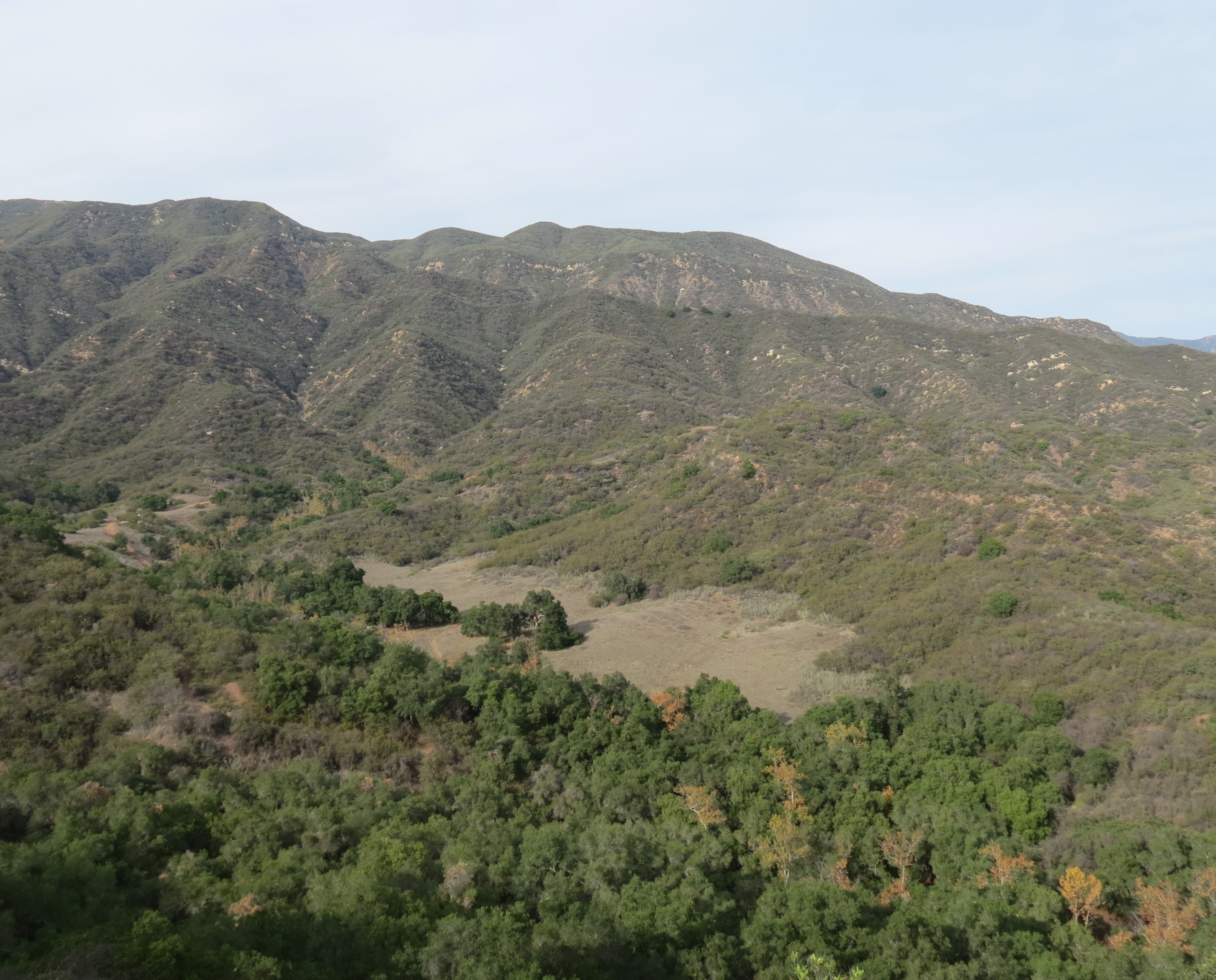
From the trailhead, Lion Canyon Trail quickly crosses Lion Creek, passing through a mix of alder and cottonwood trees. The trail follows the creek upstream, leading through a mix of chaparral on the side furthest from the creek and riparian plants on the creek side.
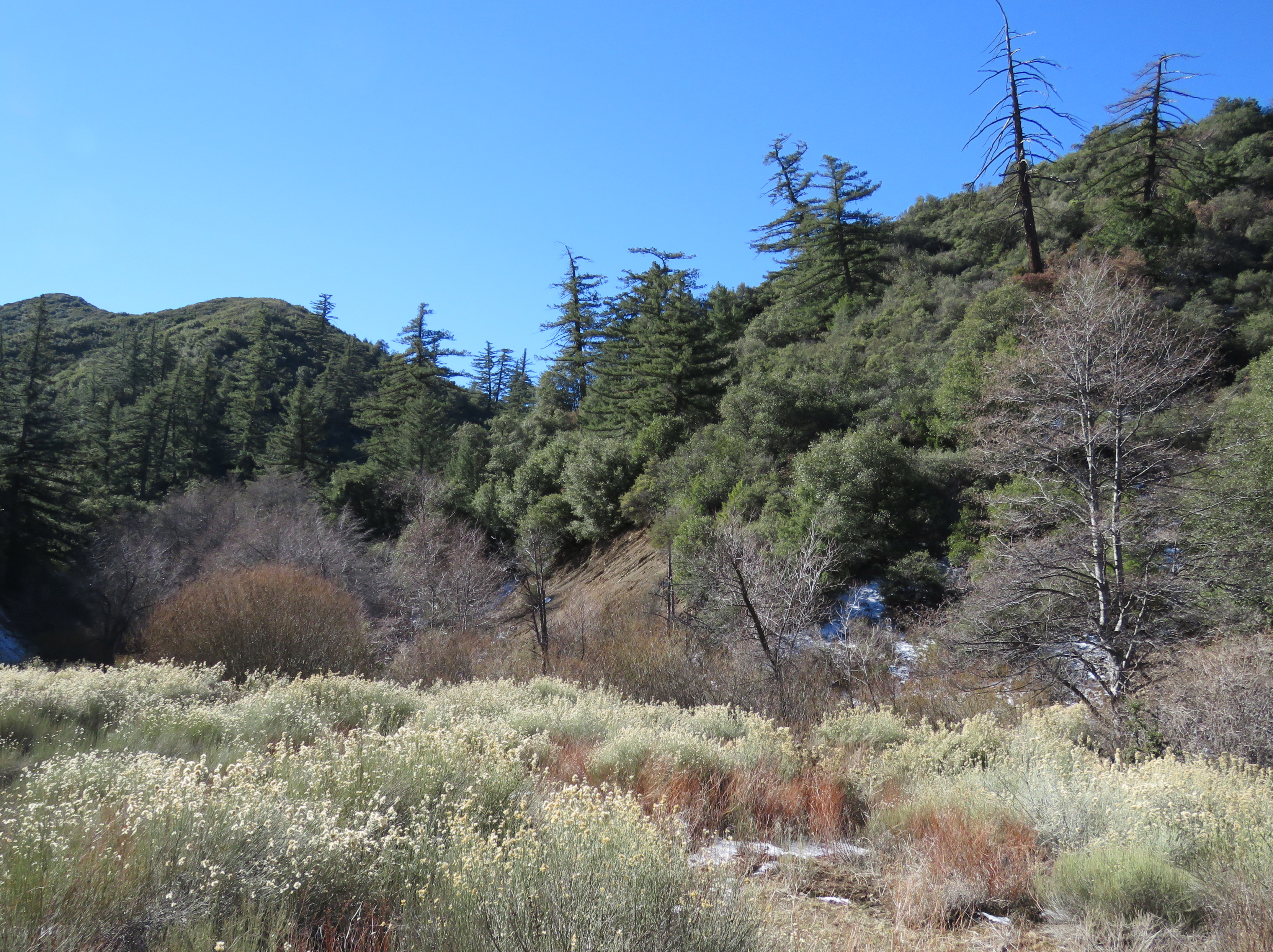
As the trail continues, one also starts to see big-cone spruce in the mix. The trail is in generally good shape, and although does climb above the creek for stretch, is otherwise mostly level towards the trail camps.
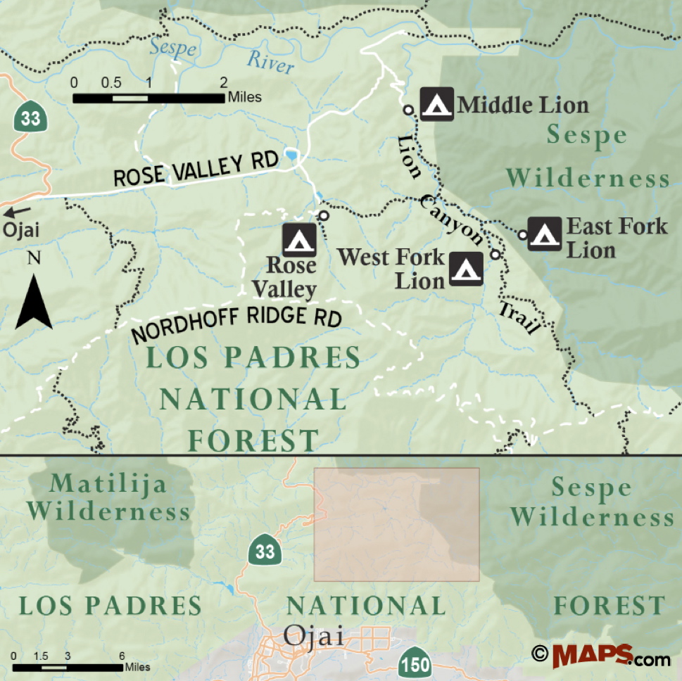
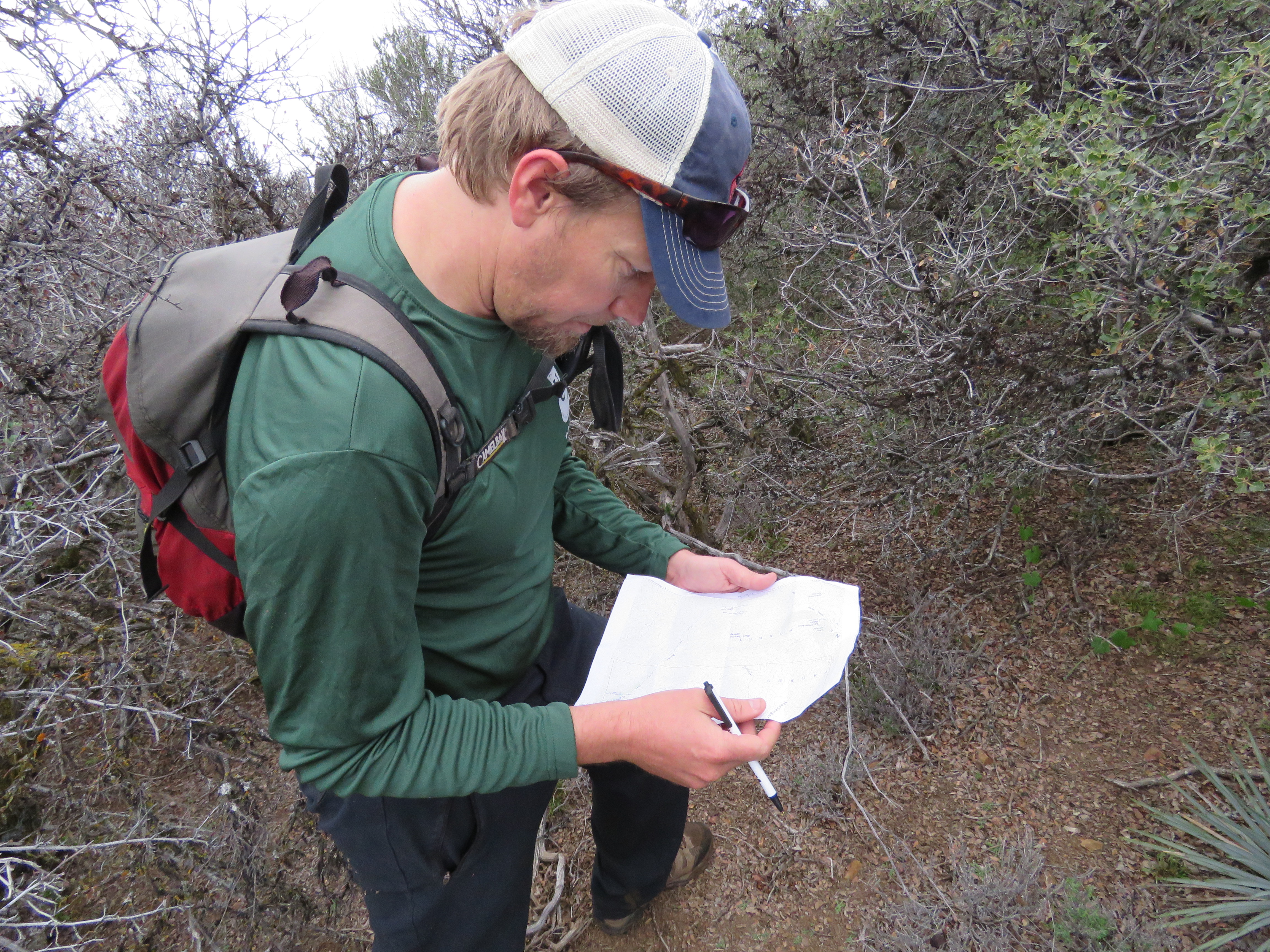
Map courtesy Maps.com
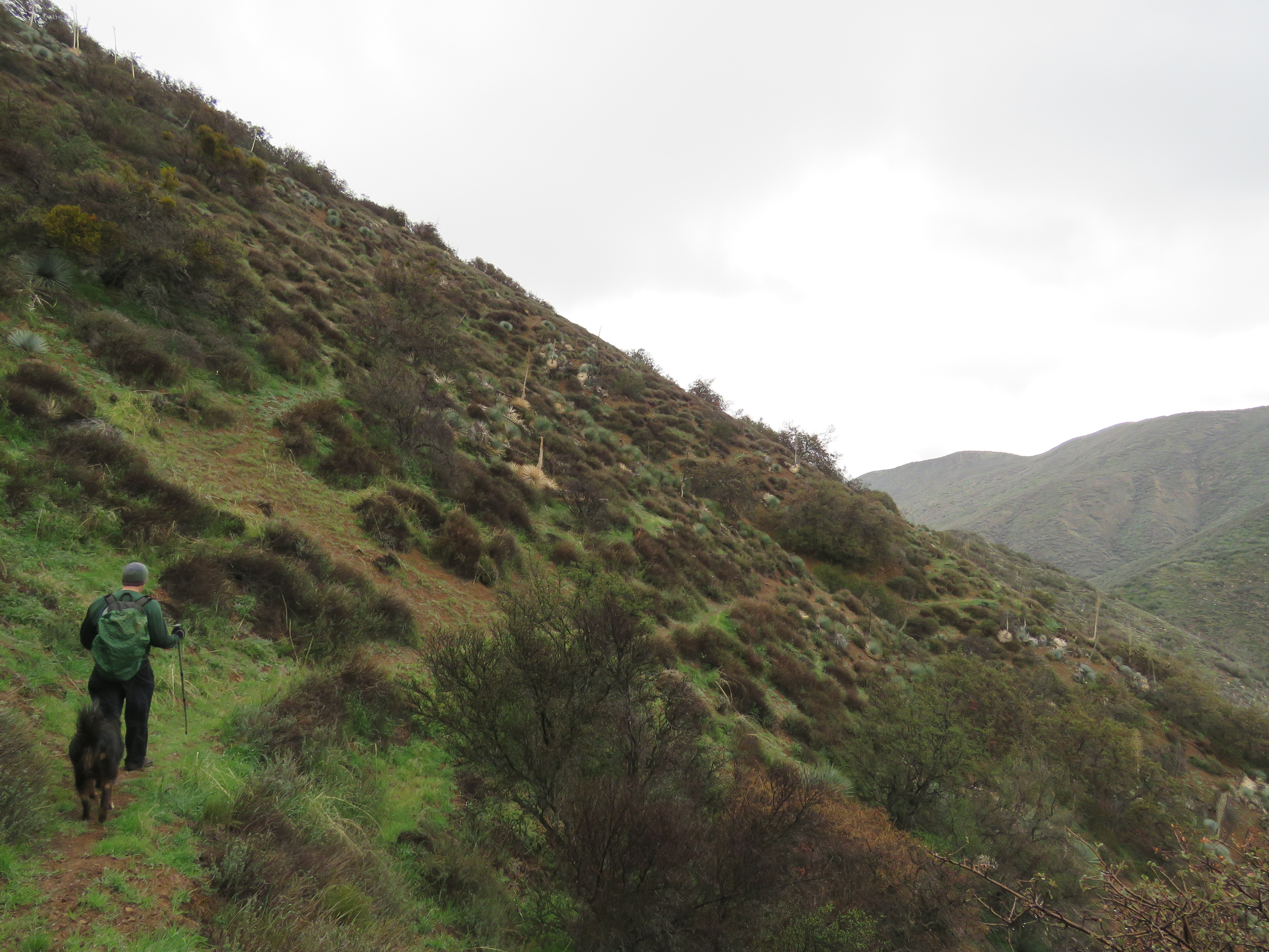
Where the trail does climb above the creek, it offers some scenic views down into the canyon. And it is this scenery that helps cast the creek as a hidden mountain stream, particularly in contrast to the nearby, and more popular, Sespe River Trail.
At about the 1.25-mile mark, the trail arrives at Rose-Lion Connector Trail. The roughly 1.5-mile long trail connects over to Rose Valley Campground and represents an alternate route to accessing the trail camps. This can be helpful to know if the campsites are full at Middle Lion, as one can sometimes find a spot at Rose Valley, which has more campsites.
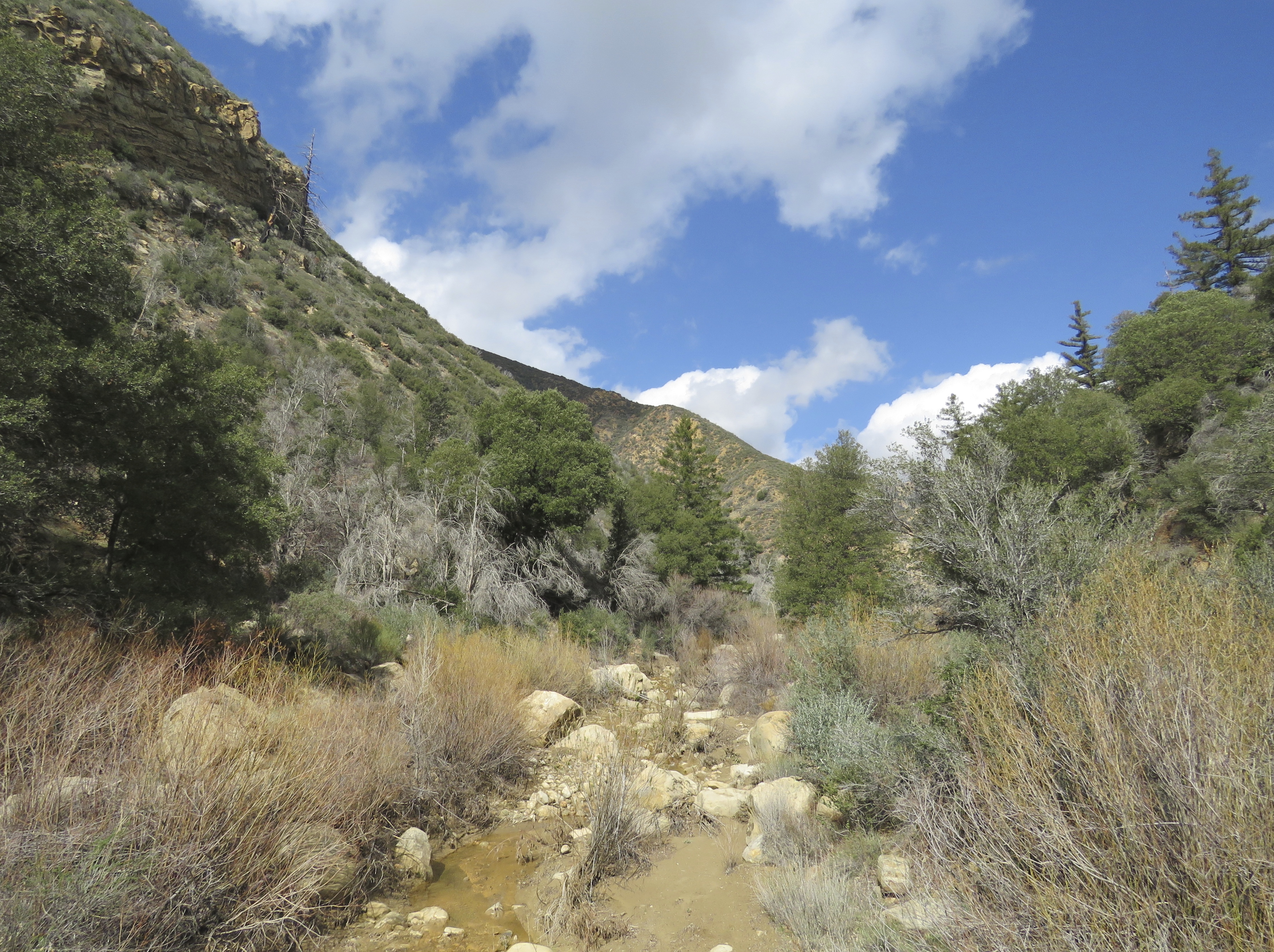
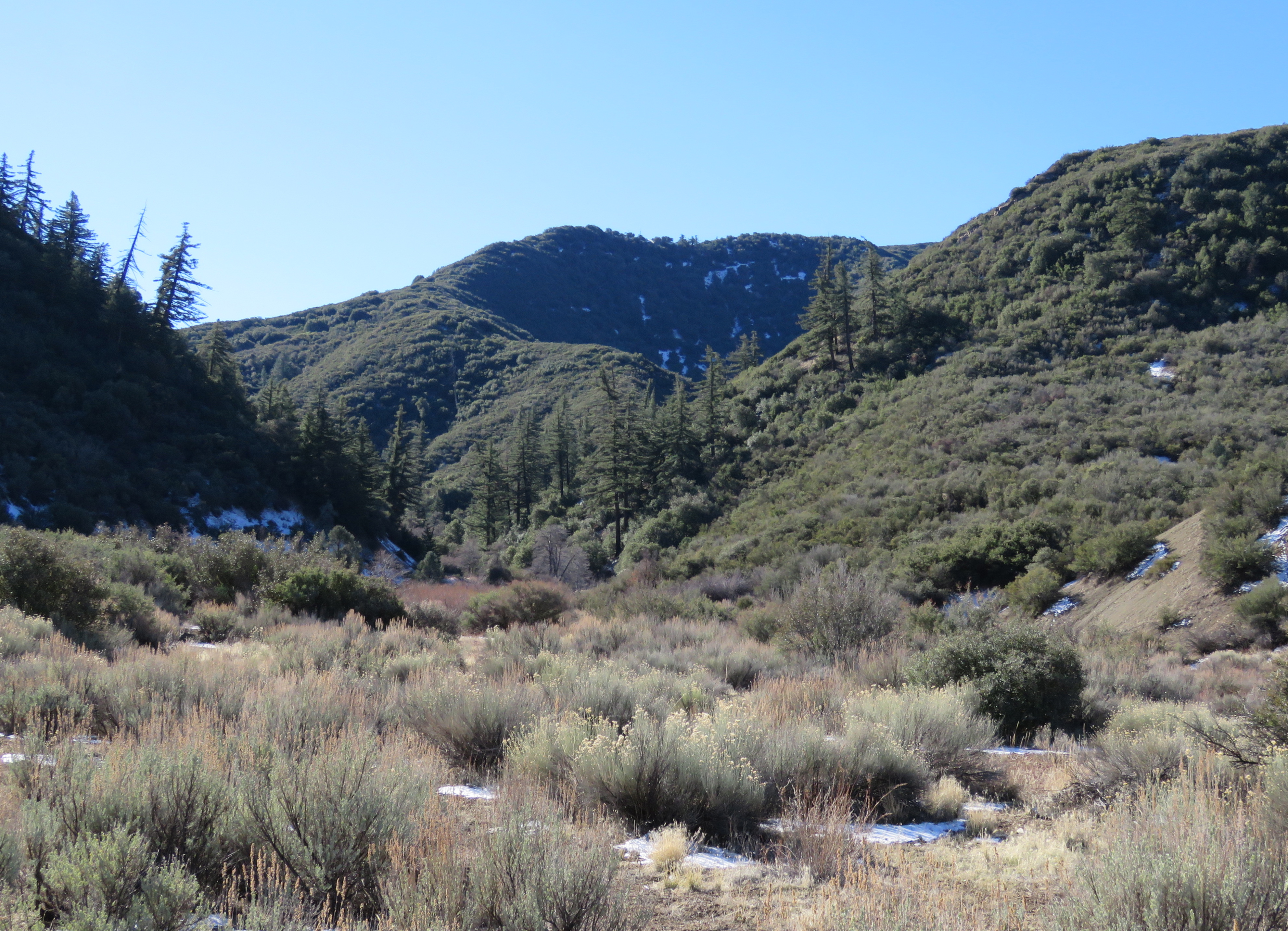
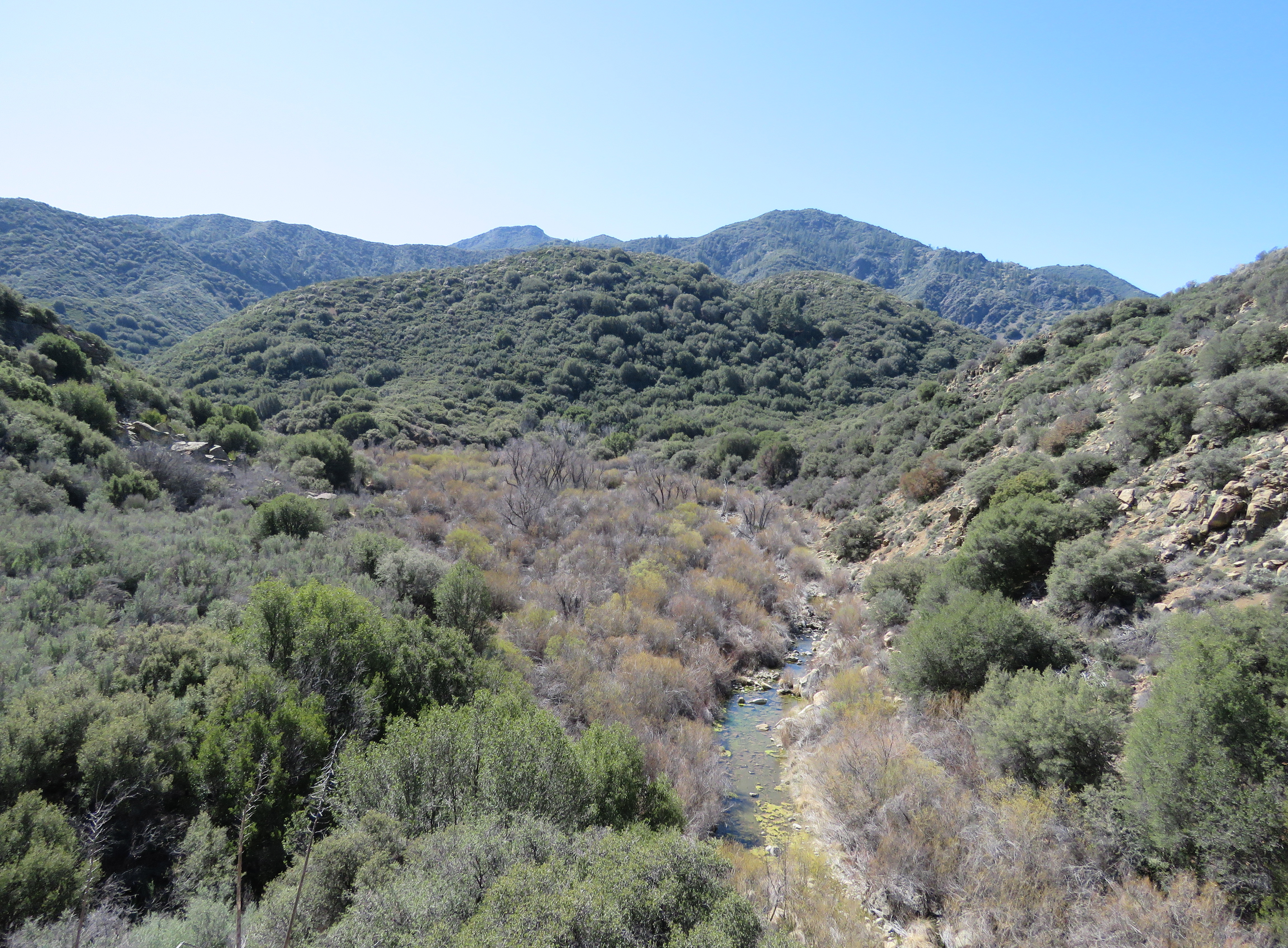
As Lion Canyon Trail continues, it eventually returns down towards the creek and enters a broad canyon filled with willows. It’s here that East and West Fork Lion Creeks meet.
The trail crosses the canyon, and at about the 2-mile mark, arrives at the trail juncture for the two camps. The intersection is well-marked with a trail sign. The trail to the left leads to East Fork Lion Camp, and the trail to the right leads to West Fork Lion Camp, while the center trail continues to the top of Nordhoff Ridge.
The trail to East Fork Lion Camp continues east, and follows East Fork Lion Creek through the willows, crossing the creek several times, before settling in on the north side of the creek. Here, the wide flood plain of the creek makes for easy hiking.
About a half mile from the trail junction, the trail arrives at East Fork Lion Camp. The spacious, flat camp is situated under two large big-cone spruce trees and features a fire ring and grated stove, as well as the remnants of an ice can stove. The camp at one time was known as Spruce Falls Camp. The fire damage, noticeable on some of the trees is from the 1971 Bear Fire, which started in Bear Canyon, further to the east.
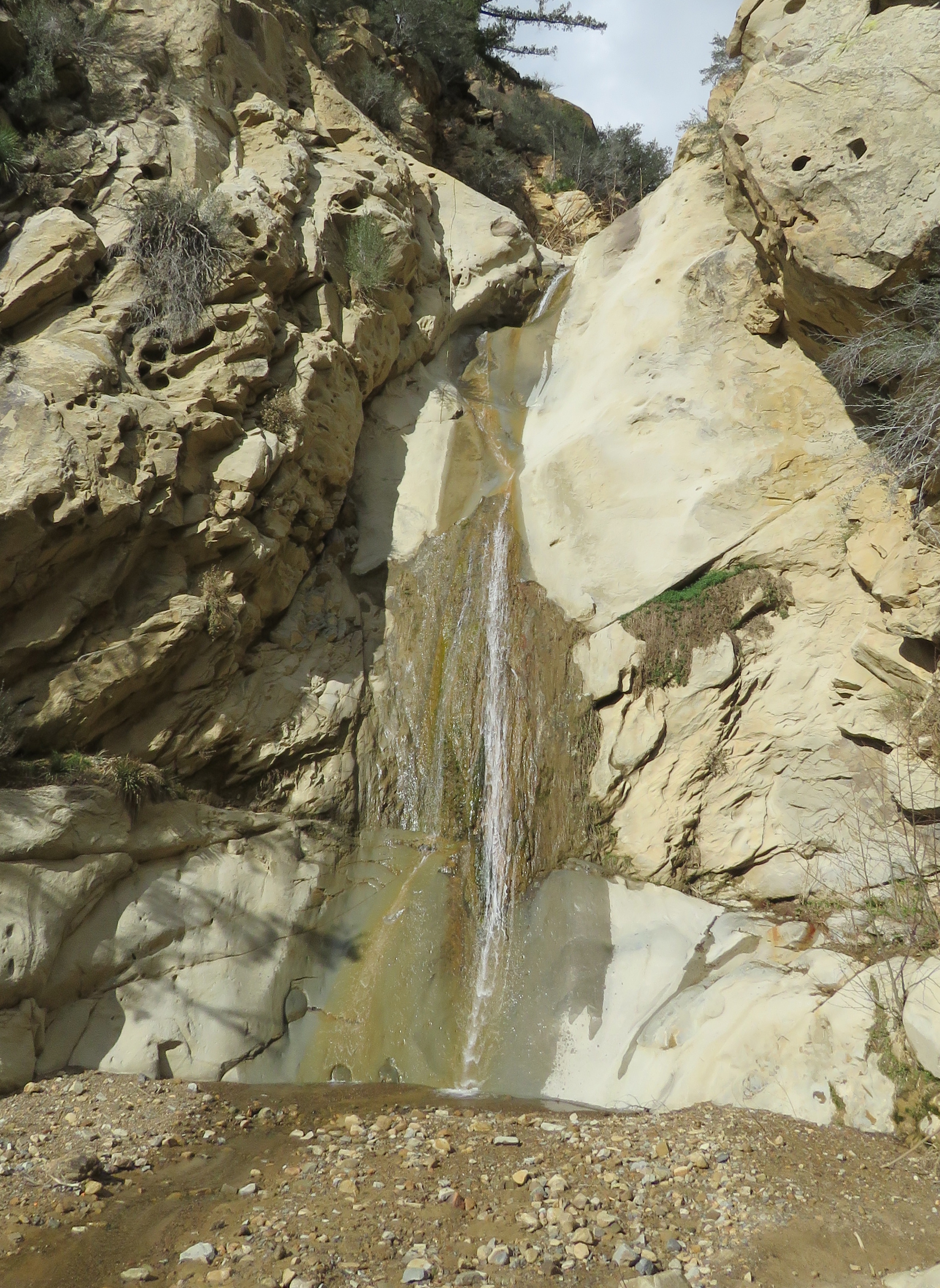
Currently, the creek is dry at the camp, but water can found just upstream. A short social trail leads upstream to an enchanting cascade and pool. Here, the creek flows over a number of large conglomerate rocks. Additional pools and cascades can be found further upstream.
Essentially looking like river stone frozen in silt, conglomerates are sedimentary rocks that contains other rocks or clasts that have been cemented together with finer-grained material. Conglomerates are classified by the size of the clasts, and so in this case the rocks in Lion Canyon are classified as cobble conglomerate.
The trail to West Fork Lion Camp, from the trail juncture, continues south along West Fork Lion Creek, and about a half mile later, arrives at West Fork Lion Camp. The camp features a fire ring and grated stove, and is unappealingly located right along the trail. Another smaller site can be found across the creek. From the camp, it is a short hike further upstream to the waterfall. Here too, the water is seen tumbling over an outcropping of conglomerate rock.
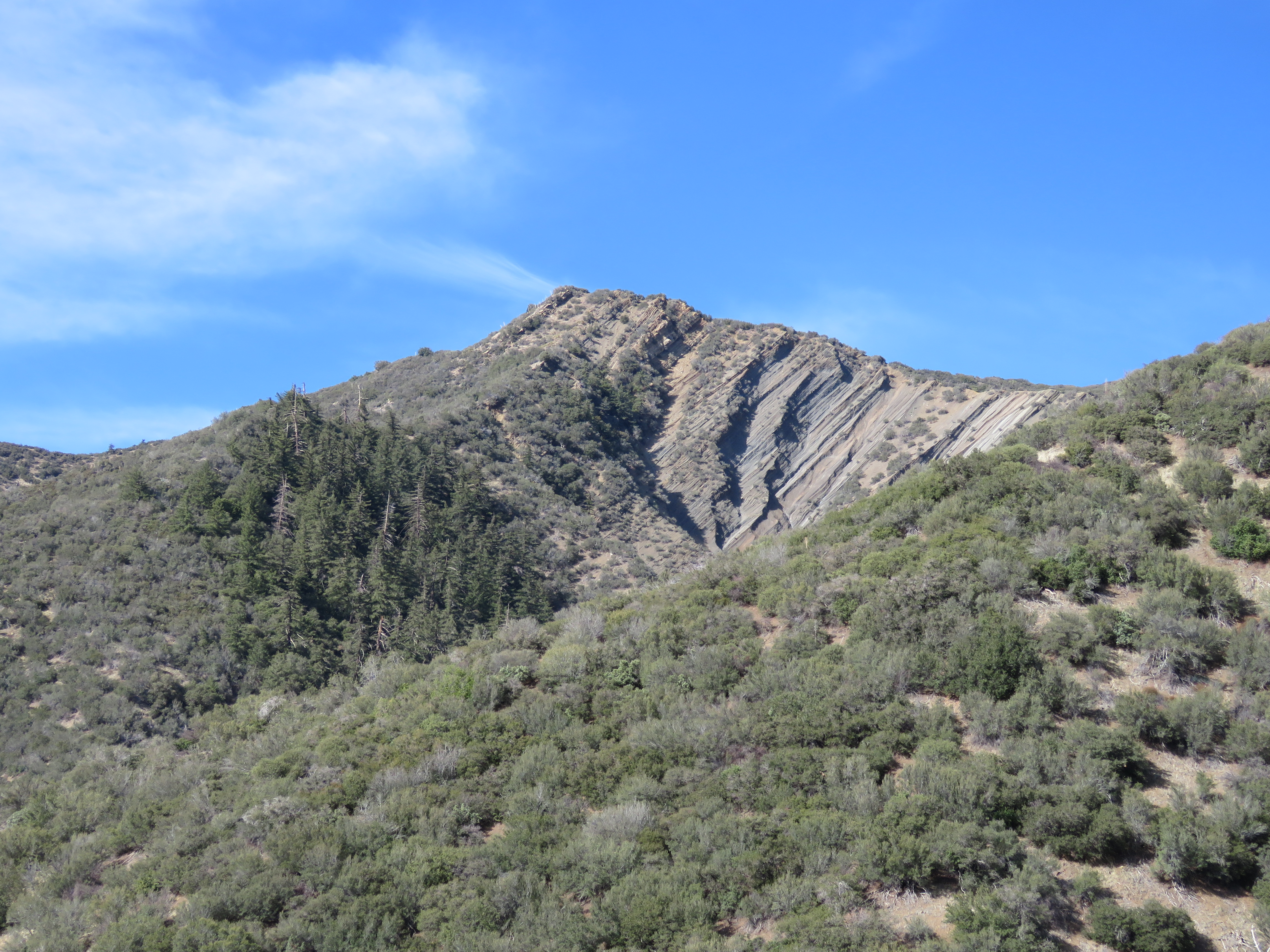
Geologically, the broad canyon where the trail juncture is located represents a transition in the landscape. And although the canyon there is filled with deposited material, running underneath it is the east-west Santa Ynez Fault, which has likely contributed to the canyon’s shape. To the south along the section of trail hiked so far, the next formation is Coldwater Sandstone; to the north, as the trail continues towards Nordhoff Ridge, it passes through an older, unnamed formation of sedimentary rock, which includes cobble conglomerate material.
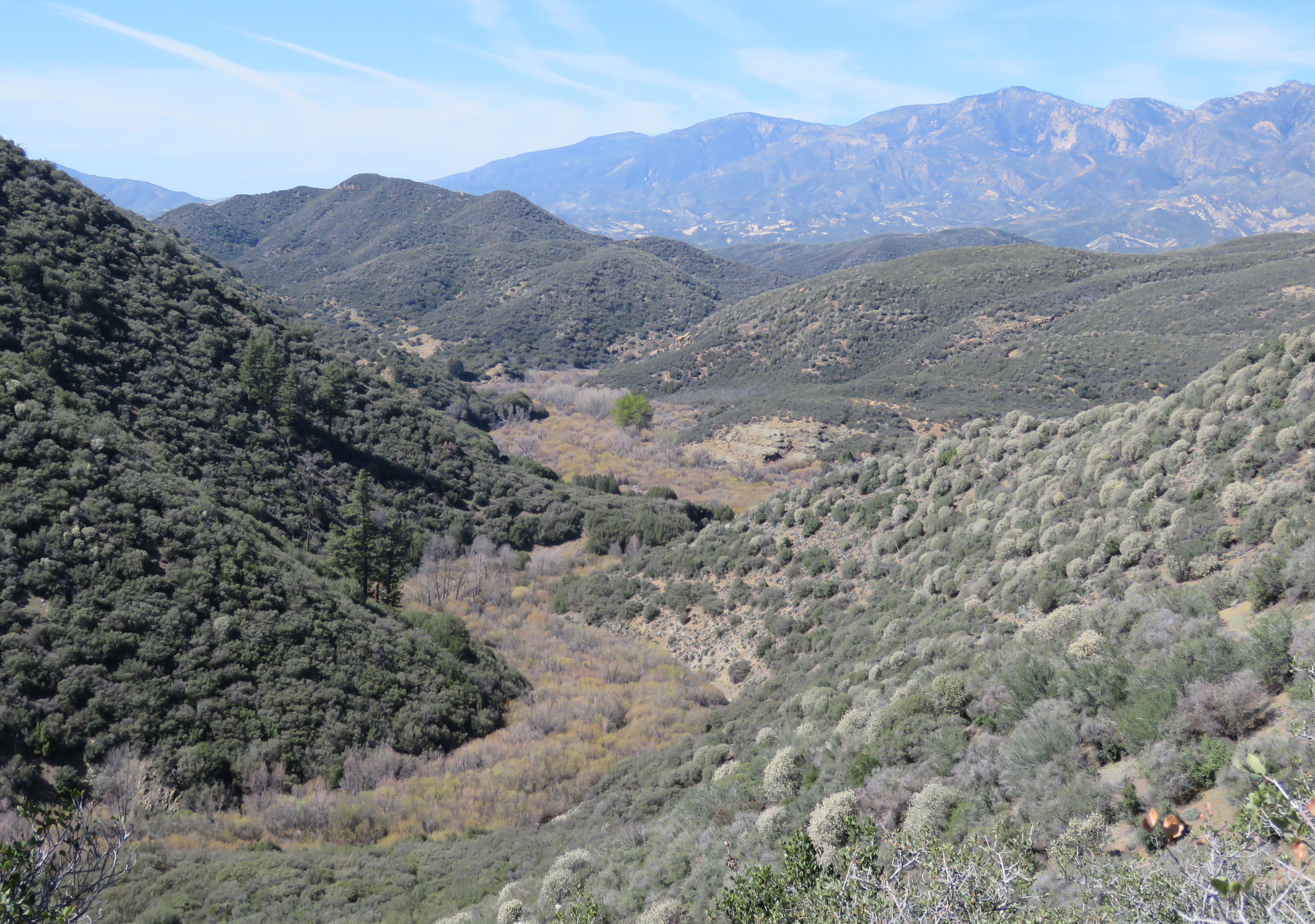
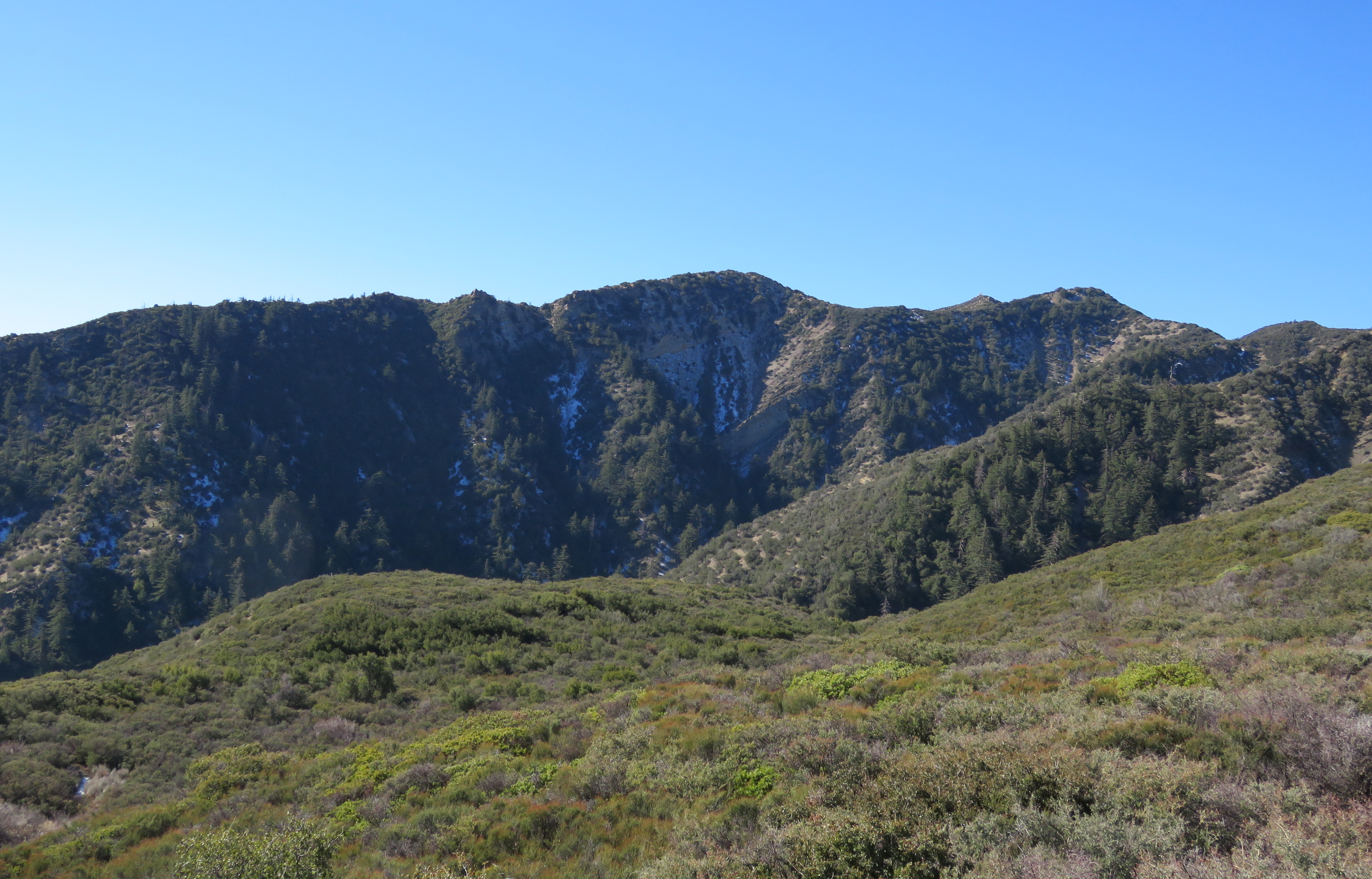
Pine Mountain Ridge frames a view of Lion Canyon
For the hike to Nordhoff Ridge, continue straight ahead at the trail juncture for the two camps. Here, Lion Canyon Trail begins its steady climb away from the creek. The trail follows West Fork Lion Canyon, and, as it gains elevation, offers some great views back down the canyon, as well at out towards Pine Mountain Ridge.
Roughly halfway up, Lion Canyon Trail crests the ridge that separates the east and west fork canyons, and continues the rest of the way towards Nordhoff Ridge, overlooking East Fork Lion Canyon.
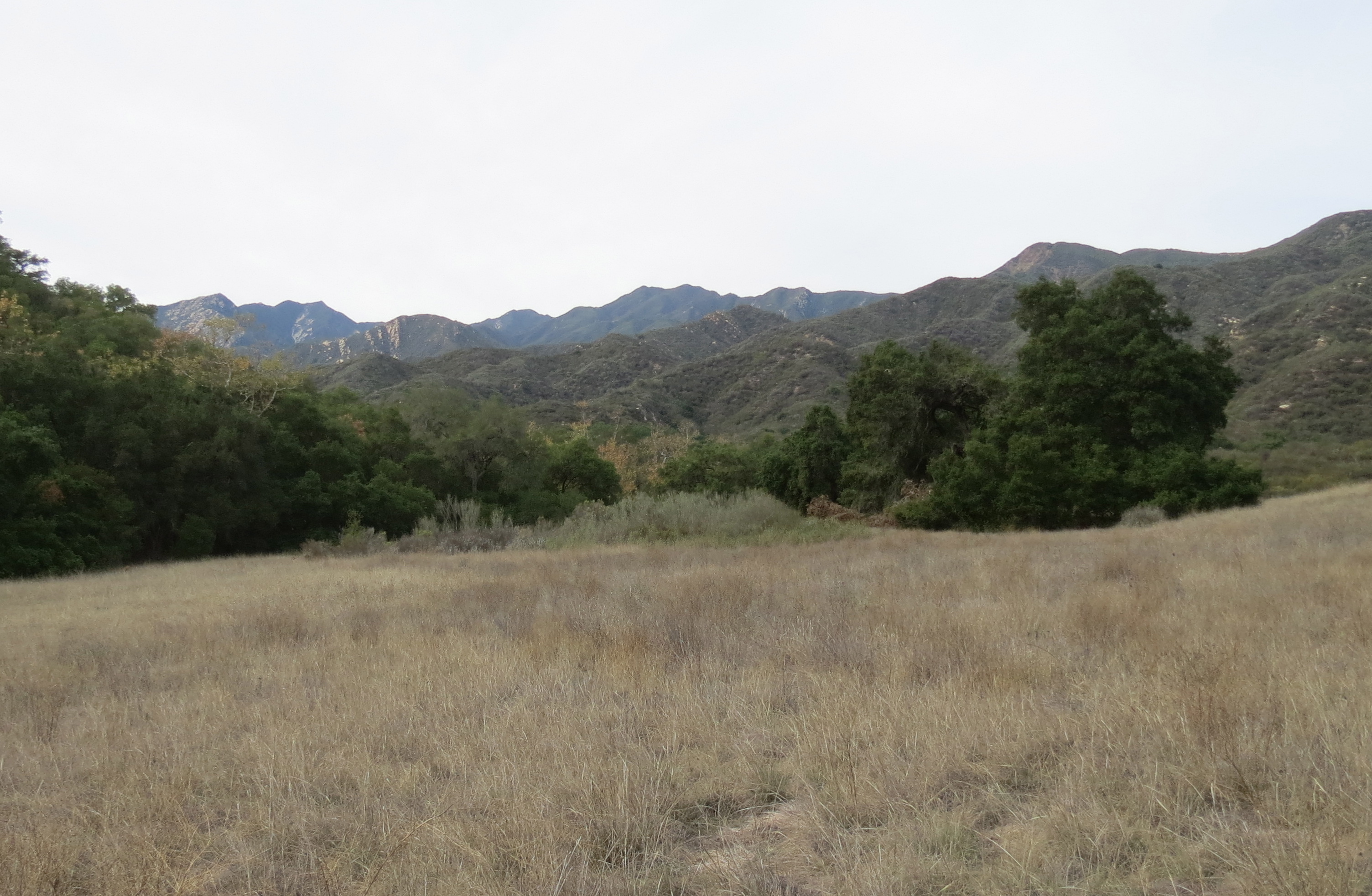
At about the 5.5-mile mark from the trailhead, Lion Canyon Trail arrives at Nordhoff Ridge Road, which runs along the top of Nordhoff Ridge. Here, one is treated to views out across the upper Ojai Valley, Santa Clara Valley and Oxnard Plain, and out towards the Pacific Ocean. Immediately to the east, the views include an almost close-up view of the Topatopa Bluff.
Regardless of how far you hike you’ll get to explore this scenic canyon that shares its waters with Sespe River.
This article originally appeared in section A of the March 17th, 2015 edition of Santa Barbara News-Press. Thanks again to Maps.com for producing maps for the articles.